PSV
Prime Signature Visuals
Elevated Visuals for Real Estate & Commercial Projects
FAA Part 107 Certified
Commercially Insured
LLC · South Carolina
HOA Community · Aerial Documentation Report
Riverstone
Sample Documentation Report  ·  Simpsonville, South Carolina
Community
Riverstone
Location
Simpsonville, SC
Total Images
29 Captured
Report Type
Sample / Demo
About This Report
Aerial Documentation
for HOA Communities

This report is a sample of the aerial documentation services Prime Signature Visuals delivers to HOA management companies, community associations, and property owners across Upstate South Carolina — for both ongoing quarterly programs and single-visit engagements.

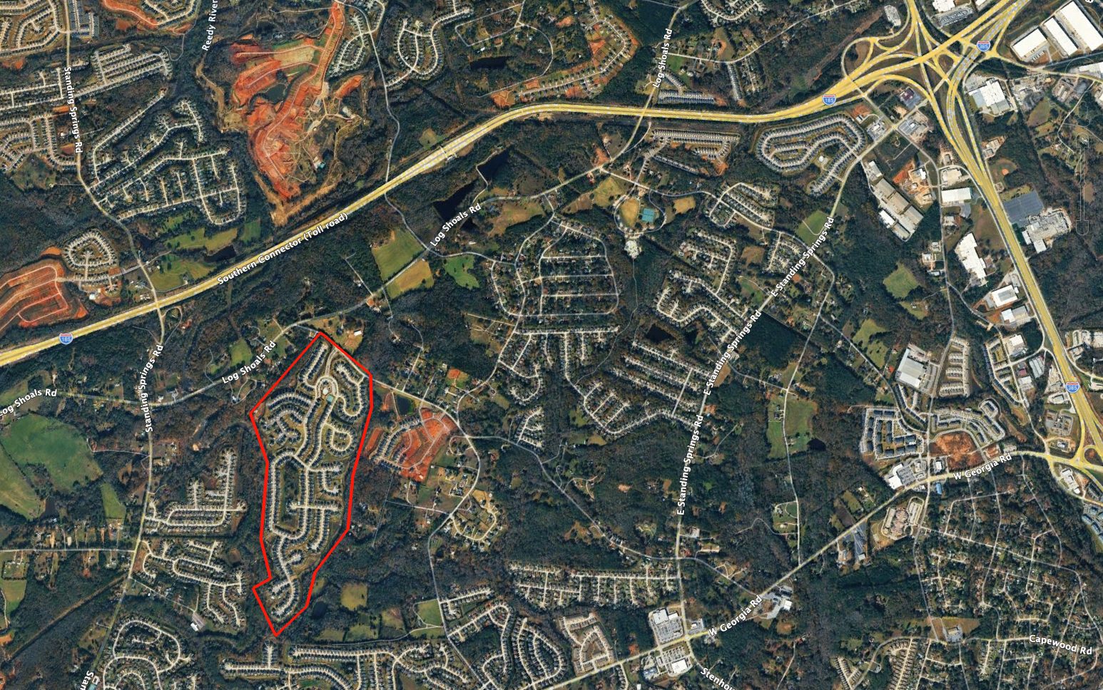
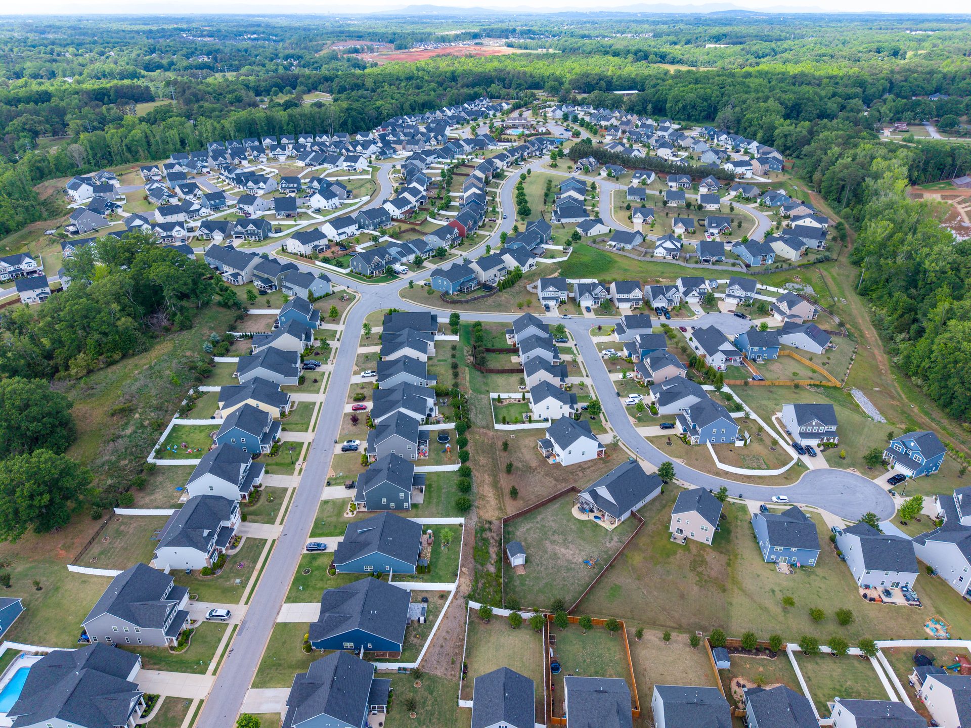
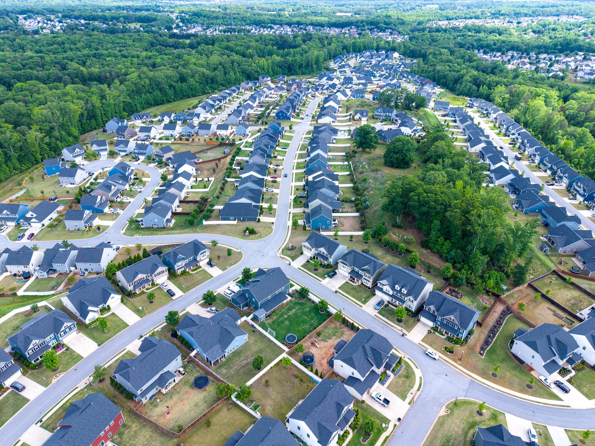
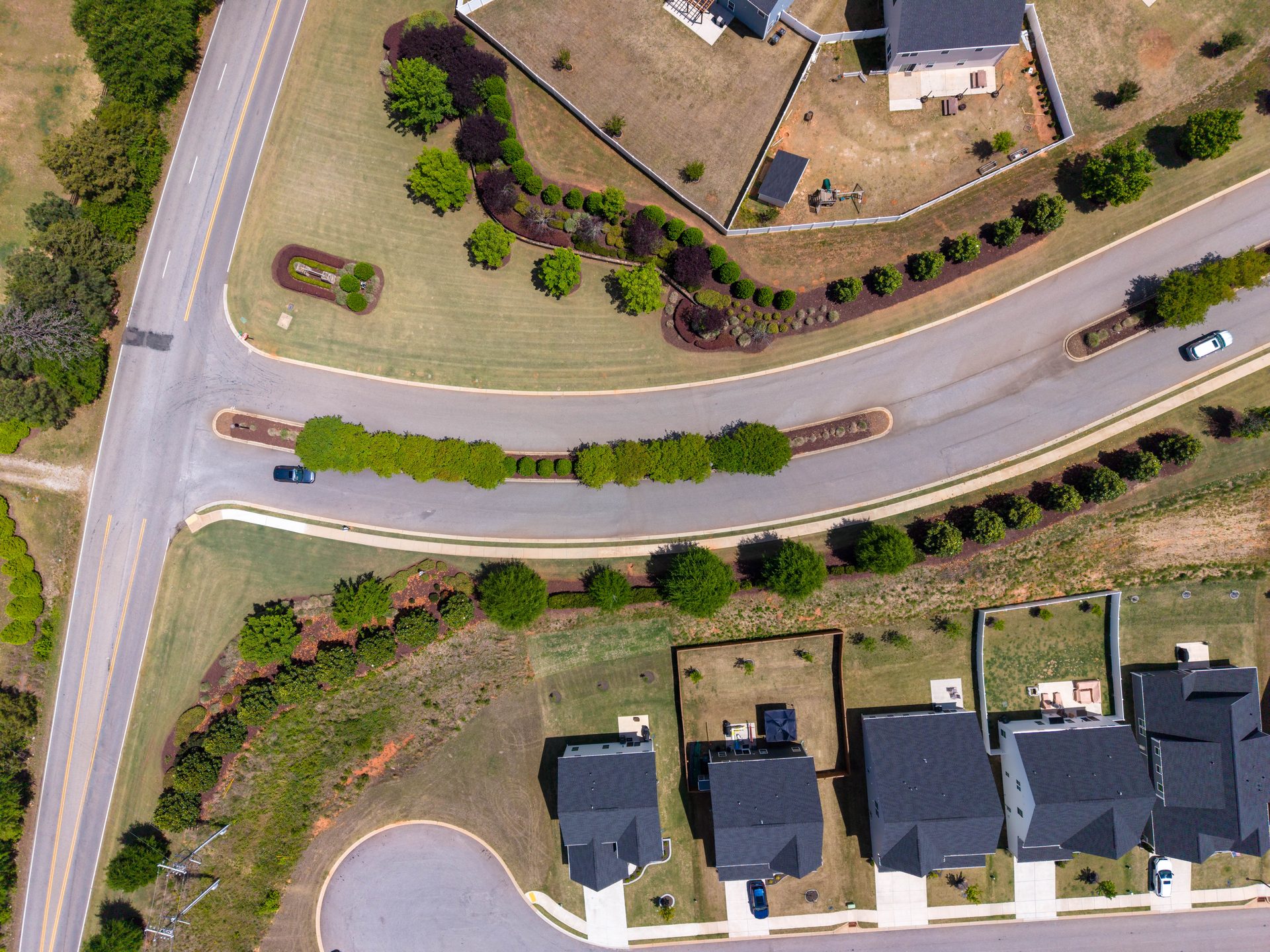
Every image was captured using FAA Part 107–certified drone equipment flown at altitudes selected for each subject — from high-altitude nadir overviews that map the full community footprint, to low-altitude angled shots that reveal surface-level conditions in detail. All operations are conducted with full commercial insurance coverage.

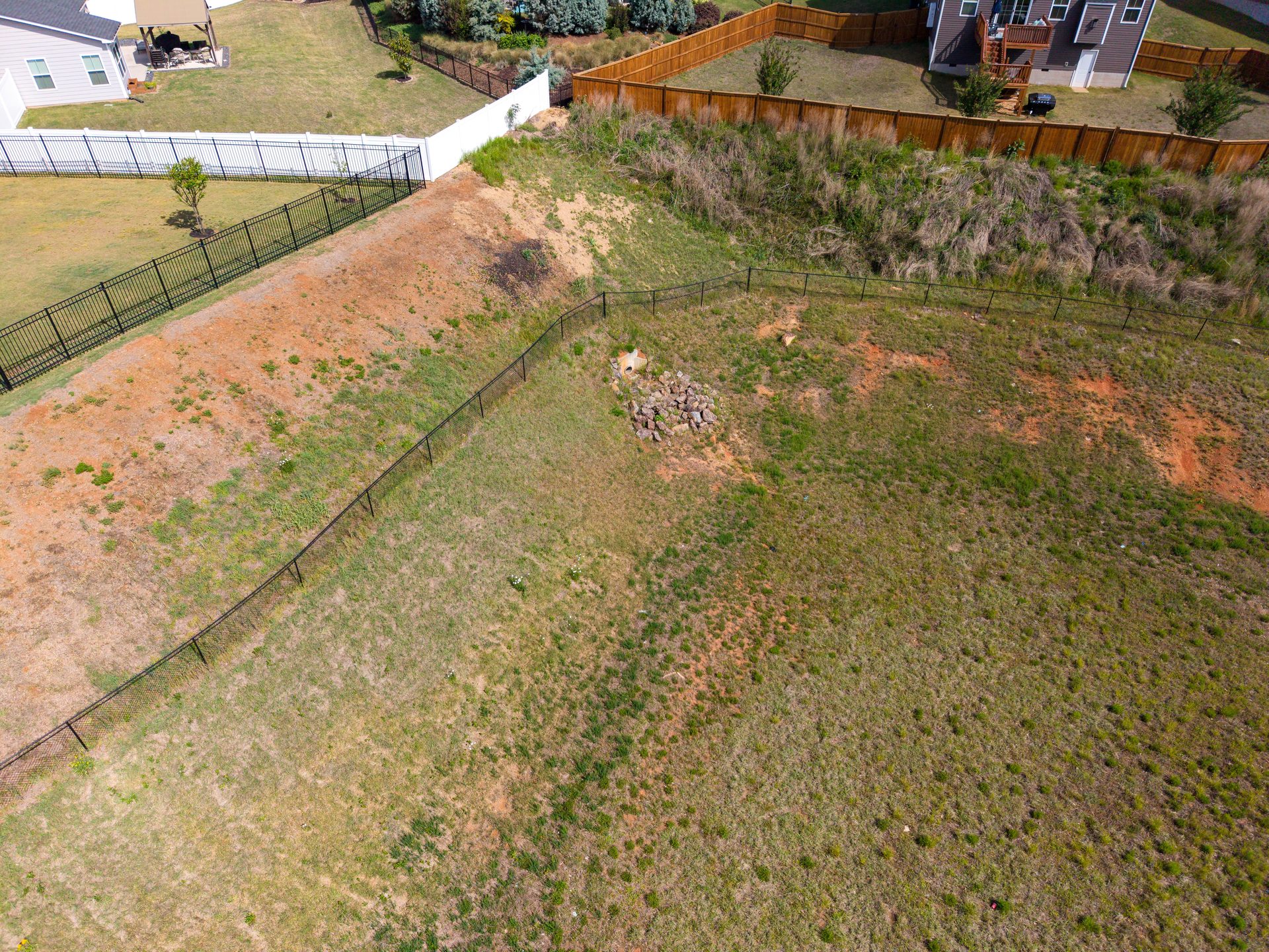
Each image in this report is fully interactive. Click any photo to open it at full resolution, where you can zoom in to inspect specific areas — road surfaces, tree canopy, pool deck condition, fencing, drainage channels — with the same detail as an on-site inspection. Use the Add Note button on any image to attach observations, flag issues, or record action items directly to that photo.

Whether this is a one-time assessment or part of an ongoing quarterly program, every report is organized by community area, captioned with precise shot descriptors, and delivered as a portable file set your board, management team, and vendors can all reference.

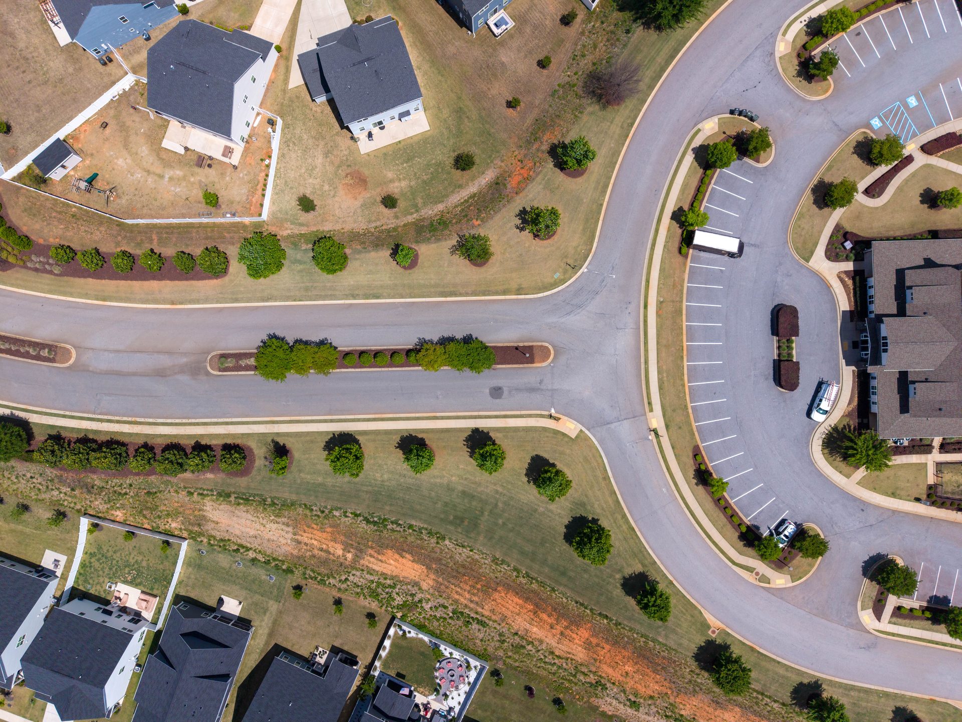
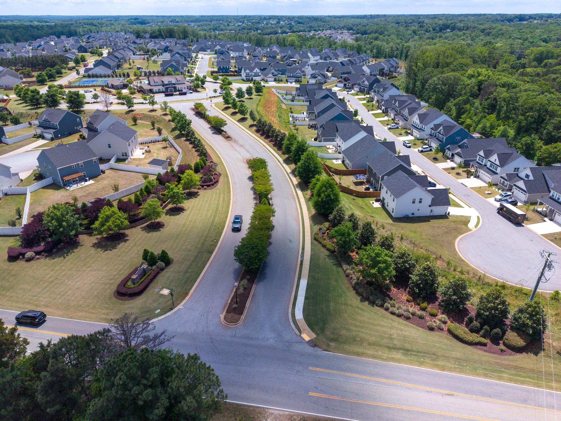
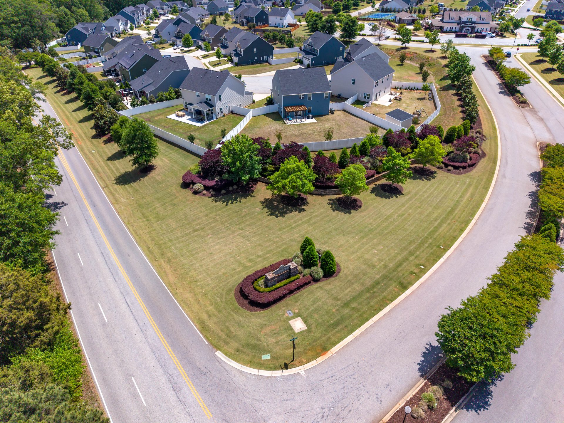
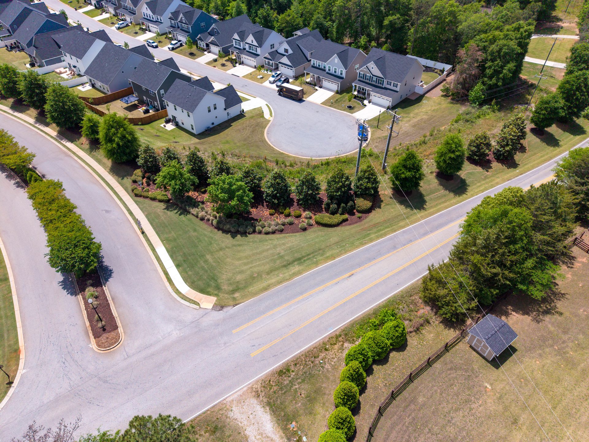
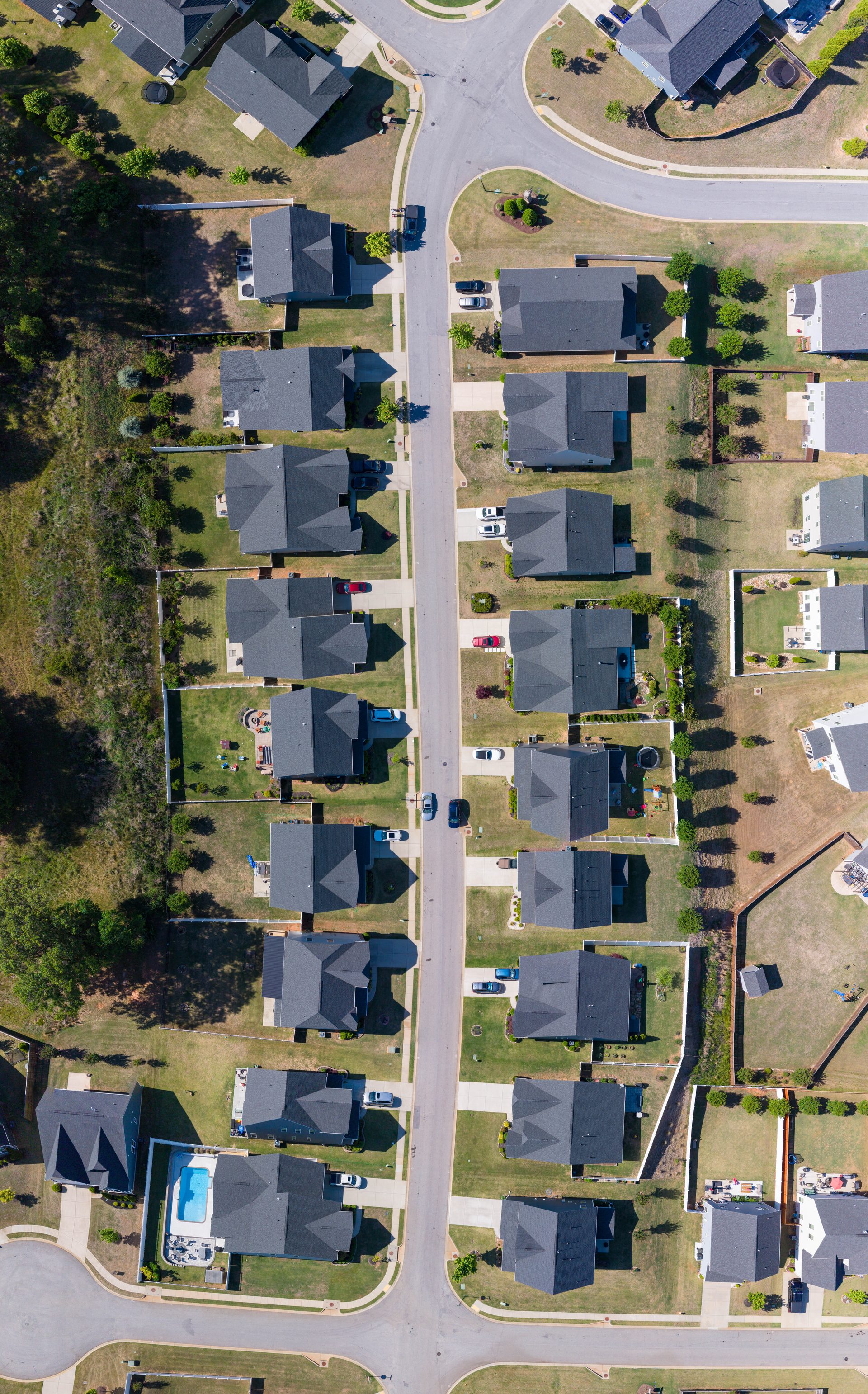
Infrastructure & Road Conditions
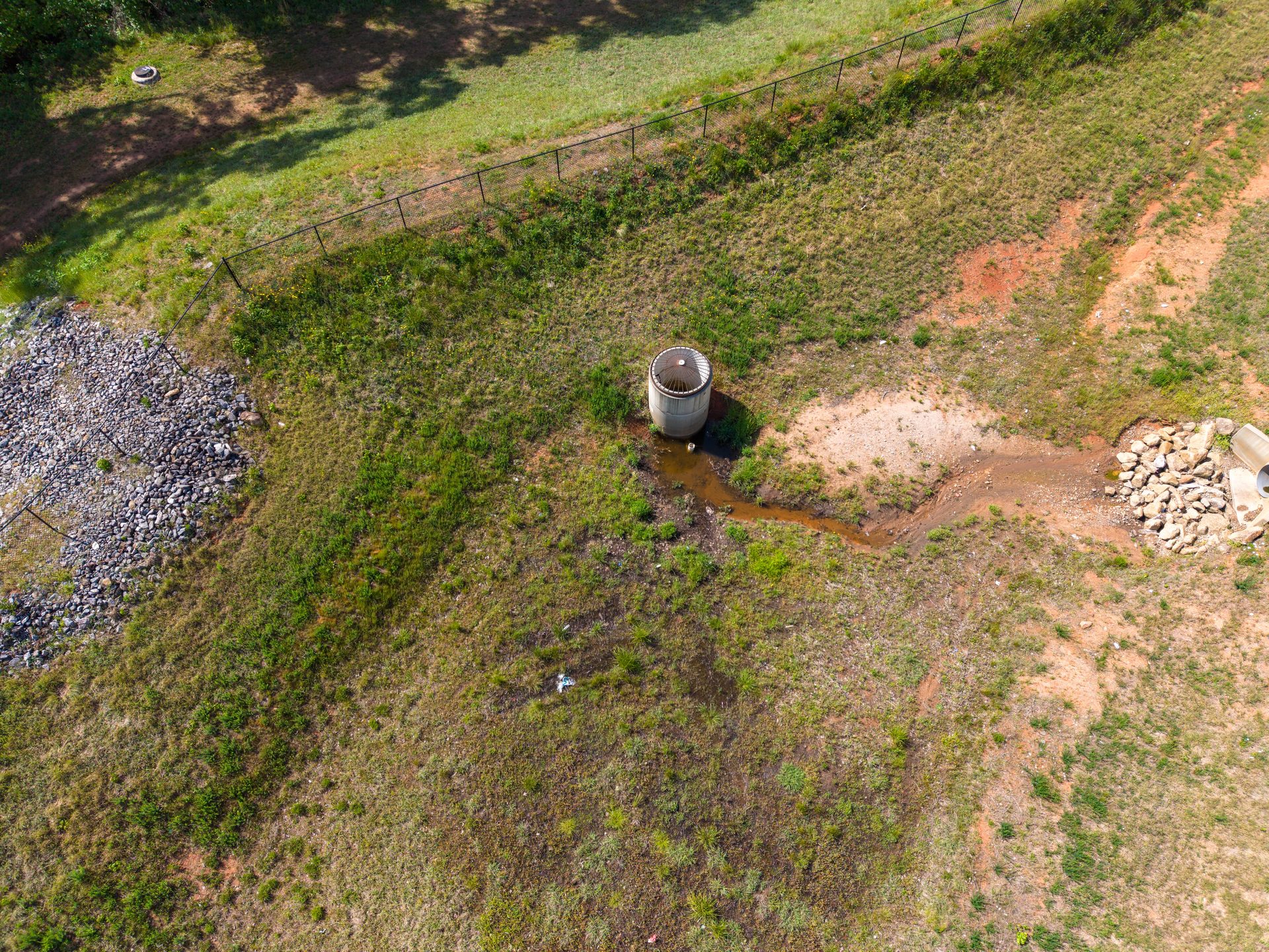
Identify pavement cracking, deteriorating curbs, pothole formation, and drainage issues across every street — before they become liability concerns or costly emergency repairs.
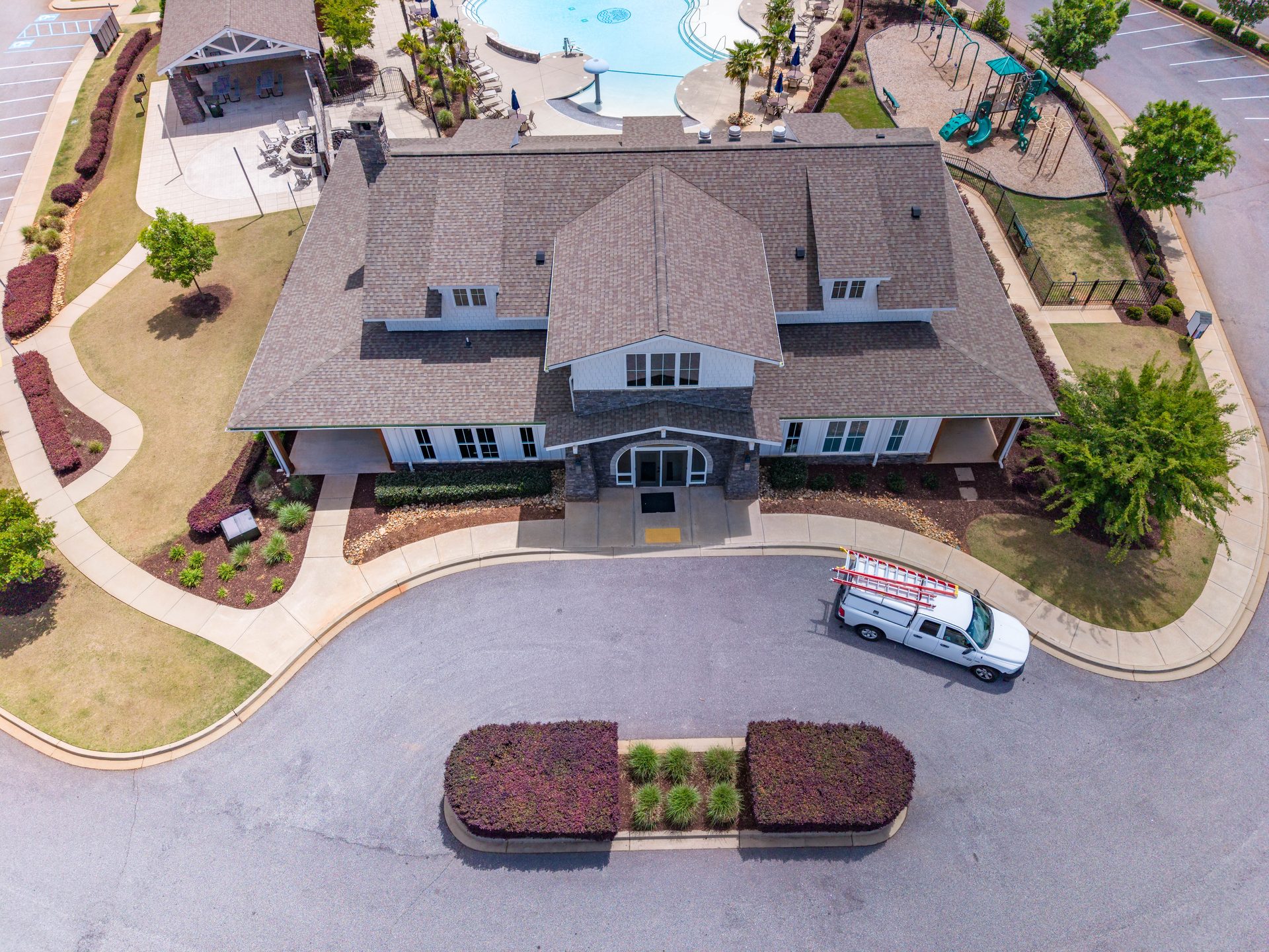
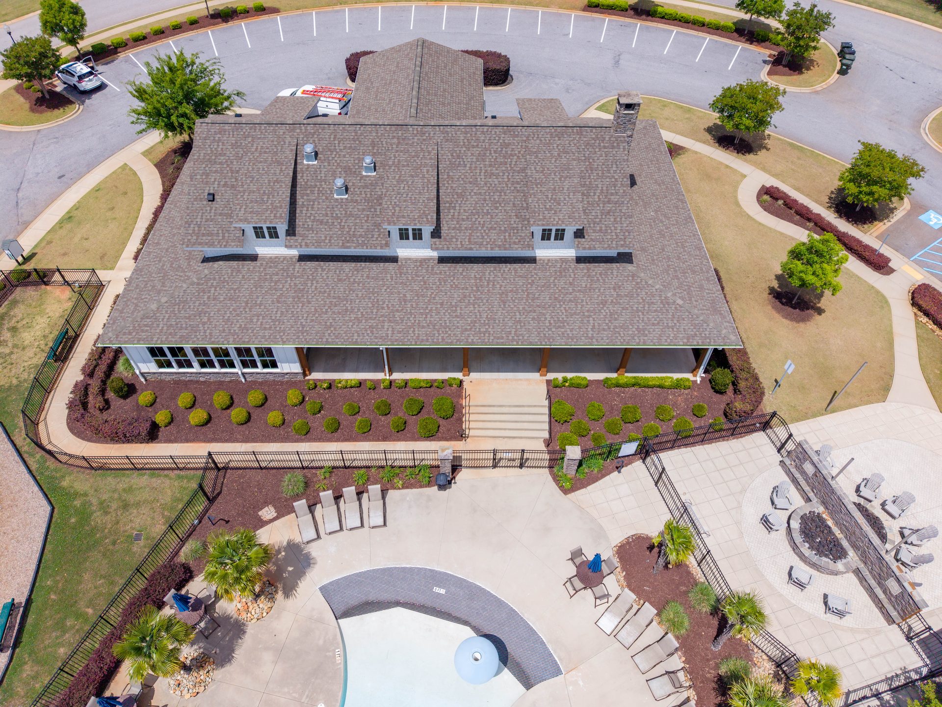
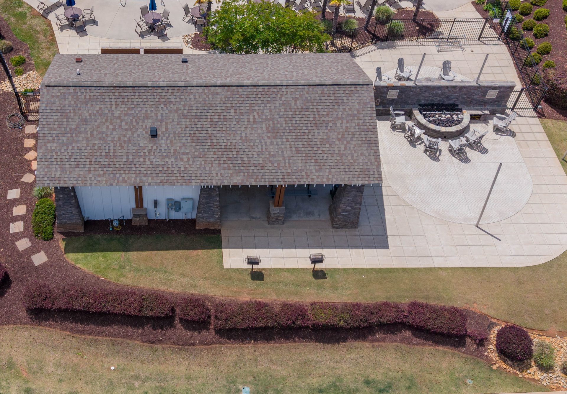
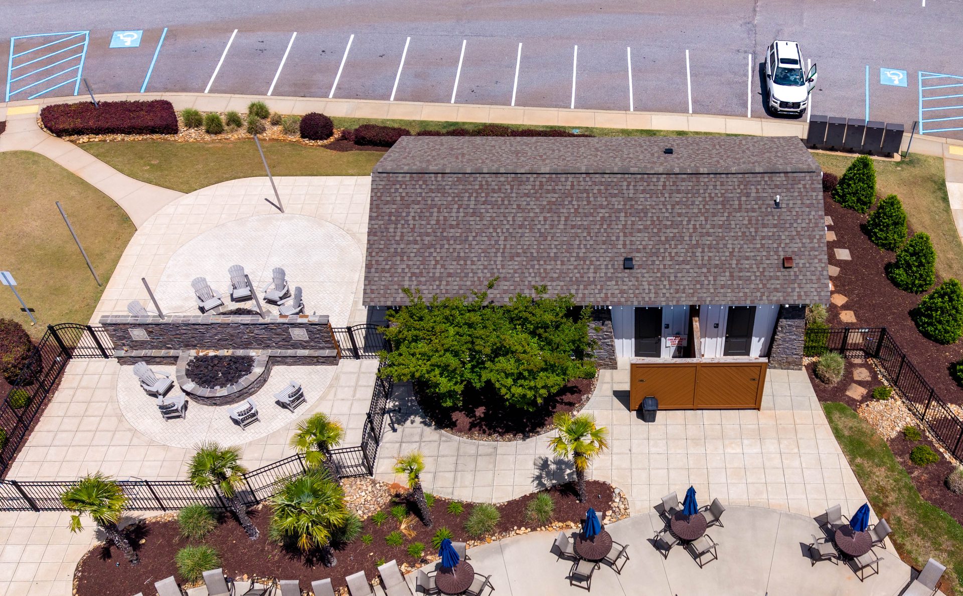
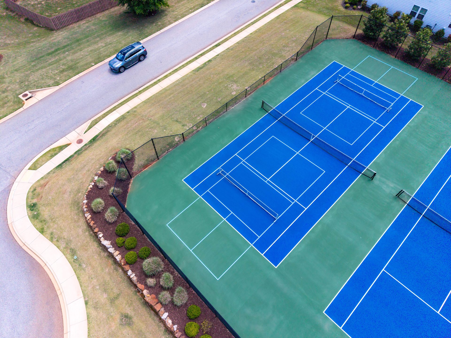
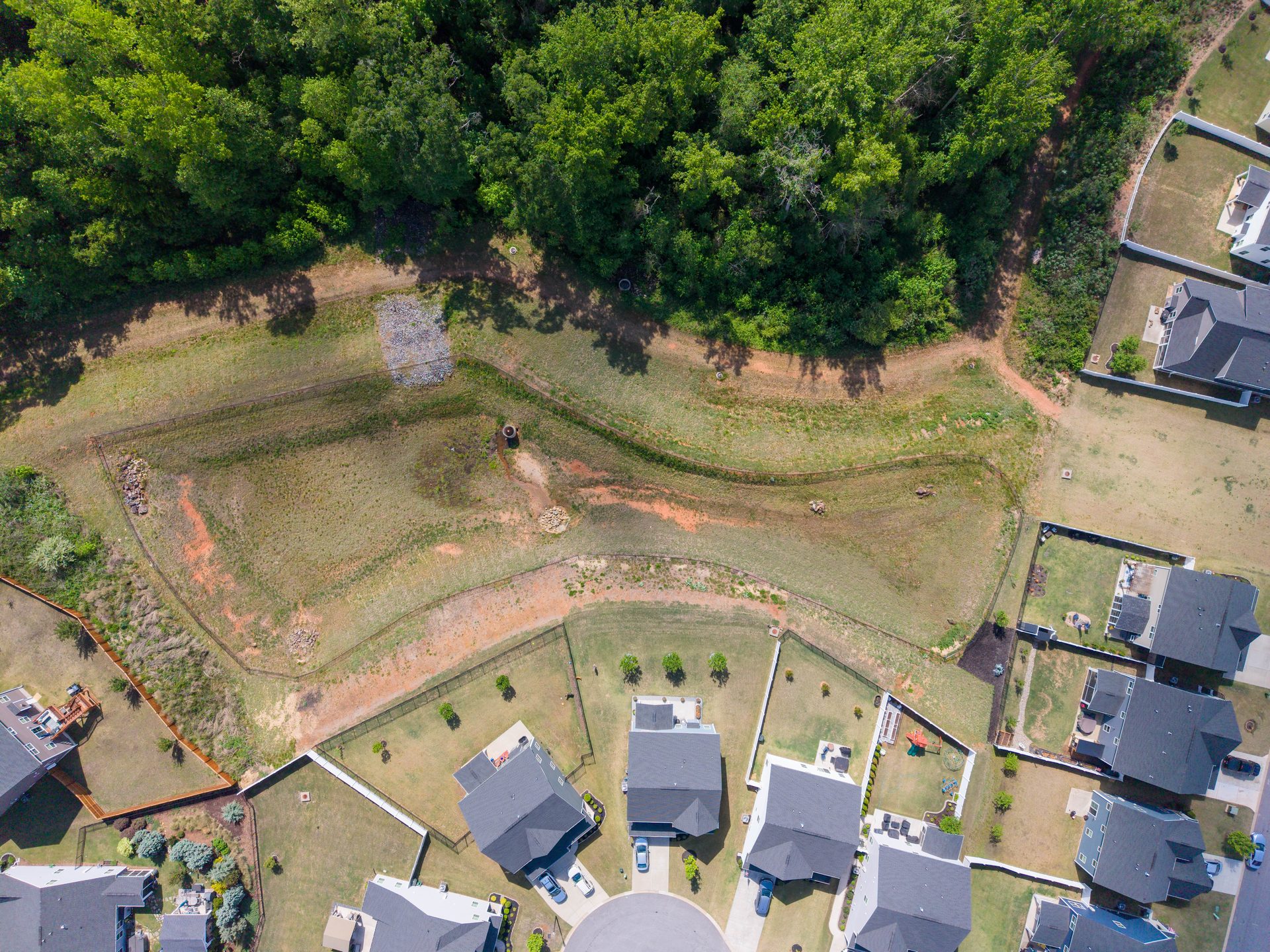
Landscape & Grounds Assessment
Spot trees in decline, overgrown medians, irrigation gaps, and turf damage across the full community in a single pass — with the ability to zoom into any area for a closer look.
Insurance Documentation
Timestamped aerial records establish a defensible visual baseline of all property conditions — invaluable for claims, policy renewals, and storm damage assessments.
Board Presentations
Professional imagery elevates quarterly board meetings, gives homeowners a clear and objective view of their community, and supports informed budget decisions.
Vendor Accountability
Before-and-after aerial documentation holds landscaping, paving, and maintenance contractors accountable to their scope of work — with visual proof, not just invoices.
Single-Visit Assessments
Not every community needs a recurring program. A single aerial visit delivers a complete current-state record for management takeovers, pre-sale due diligence, or one-time capital planning.
Prime Signature Visuals
FAA Part 107 Certified
Fully Commercially Insured
LLC · South Carolina
Greenville / Simpsonville, SC
Section 01
Community Location
High-altitude nadir overview establishing the community's full footprint, internal street layout, and geographic relationship to surrounding roads and landscape.
90 - Community Location - Top Down
View full resolution ↗
Section 02
Community Overview
Broad angled views from north and south perspectives showing the neighborhood in context — surrounding roads, open space, tree canopy, and adjacent development.
60 - Community Overview - Angled View - Looking North
View full resolution ↗
61 - Community Overview - Angled View - Looking South
View full resolution ↗
Section 03
Entrance Road
Top-down and angled views documenting pavement condition, median, and entry alignment from both inbound and outbound perspectives.
01 - Entrance Road - Top-Down Overview
View full resolution ↗
02 - Entrance Road - Top-Down Overview
View full resolution ↗
03 - Entrance Road - Inbound Angled View - Looking South
View full resolution ↗
04 - Entrance Road - Outbound Angled View - Looking North
View full resolution ↗
Section 04
Entrance Landscape
Angled aerial views of the entrance plantings, median landscaping, and hardscape elements from southeast and southwest perspectives.
05 - Entrance Landscape - Angled View - Looking Southeast
View full resolution ↗
06 - Entrance Landscape - Angled View - Looking Southwest
View full resolution ↗
Section 05
Amenity Complex
Top-down and angled coverage of the full amenity cluster, including the amenity building, parking areas, and surrounding grounds — documented from north and south perspectives.
10 - Amenity Complex - Top-Down Overview
View full resolution ↗
11 - Amenity Complex - Top-Down Overview
View full resolution ↗
12 - Amenity Building - Angled View - Looking South
View full resolution ↗
13 - Amenity Building - Angled View - Looking North
View full resolution ↗
Section 06
Pool Area & Pool Deck
Full top-down overview of the pool area followed by four-direction deck coverage and pool house documentation from northeast and southwest perspectives.
30 - Pool Area - Top-Down Overview
View full resolution ↗
31 - Pool Deck - Angled View - Looking North
View full resolution ↗
32 - Pool Deck - Angled View - Looking Northeast
View full resolution ↗
33 - Pool Deck - Angled View - Looking Southeast
View full resolution ↗
34 - Pool Deck - Angled View - Looking Southwest
View full resolution ↗
35 - Pool House - Angled View - Looking Southwest
View full resolution ↗
36 - Pool House - Angled View - Looking Northeast
View full resolution ↗
Section 07
Tennis Courts
Top-down overview and three angled perimeter views documenting court surface condition, fencing integrity, lighting, and surrounding grounds.
40 - Tennis Courts - Overview - Looking East
View full resolution ↗
41 - Tennis Courts - Angled View - Looking South
View full resolution ↗
42 - Tennis Courts - Perimeter View - Looking Southwest
View full resolution ↗
43 - Tennis Courts - Perimeter View - Looking Southeast
View full resolution ↗
Section 08
Playground
Angled aerial view of the playground area documenting equipment layout, ground surfacing condition, and surrounding buffer space.
50 - Playground - Angled View - Looking East
View full resolution ↗
Section 09
Typical Street
Top-down documentation of a representative interior street showing pavement condition, curbing, driveways, lot frontages, and overall streetscape character.
80 - Typical Street - Top Down Overview
View full resolution ↗
Section 10
Storm Pond
Top-down and detail angled views of the southeast stormwater retention pond documenting water level, bank condition, and vegetation along the east and northwest banks.
70 - Storm Pond Southeast - Top-Down Overview
View full resolution ↗
71 - Storm Pond Southeast - Angled View - Detail East Bank
View full resolution ↗
72 - Storm Pond Southeast - Angled View - Detail Northwest Bank
View full resolution ↗
Capture Summary
Image Coverage by Section
Complete record of all aerial images captured during this documentation session, organized by community area with photo identifiers and coverage notes.
# Section Photo IDs Images Coverage Notes
01Community Location901High-altitude nadir; full community footprint and street layout visible
02Community Overview60, 612Broad angled views looking north and south; community in landscape context
03Entrance Road01, 02, 03, 044Top-down ×2 + inbound and outbound angled views
04Entrance Landscape05, 062Angled views of entrance plantings from SE and SW perspectives
05Amenity Complex10, 11, 12, 134Top-down ×2 + amenity building angled views looking south and north
06Pool Area & Pool Deck30, 31, 32, 33, 34, 35, 367Full top-down + four-direction deck coverage + pool house from NE and SW
07Tennis Courts40, 41, 42, 434Top-down overview + angled south + SW and SE perimeter views
08Playground501Angled view looking east; equipment layout and surfacing visible
09Typical Street801Top-down; pavement, curbing, driveways, and lot frontages documented
10Storm Pond70, 71, 723Top-down overview + east bank and northwest bank detail views
Total2910 sections · Full community coverage
Ready to get started?
Quarterly Documentation
for Your Communities
We work directly with HOA management companies to build a consistent visual record across multiple communities. Pricing is based on community size and visit frequency — volume discounts available for management companies with multiple properties.
Prime Signature Visuals
(864) 625-3570
FAA Part 107 Certified
Commercially Insured
LLC · South Carolina
Image Notes
No notes yet for this image.
Click "+ Add Note" to get started.
New Note
0 notes Not yet saved to file